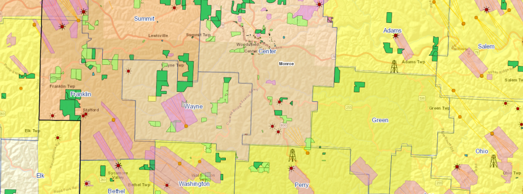
Paladin specializes in both static and interactive GIS Mapping. We can produce activity and geologic maps that can be plotter printed or we can deliver large-scale printed maps for your play or prospect.
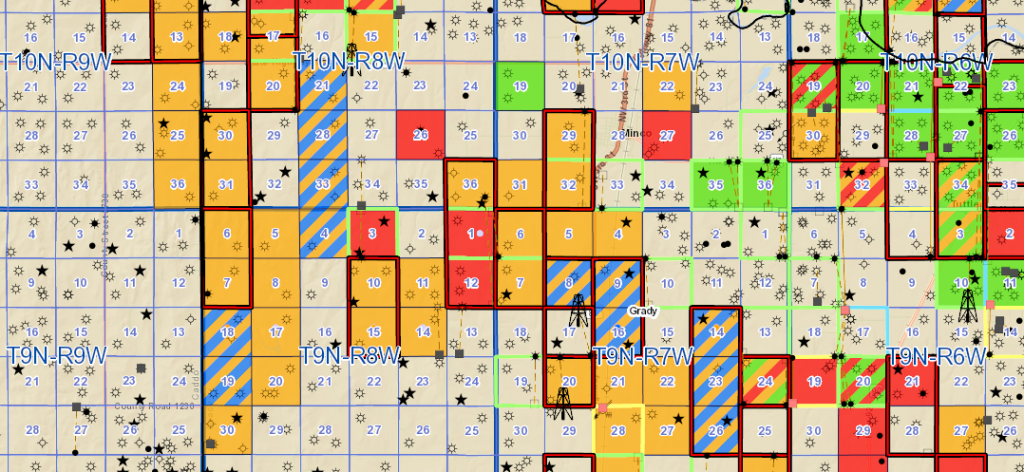
In addition to wall maps and presentation materials, our collaborative and interactive GIS webviewer can be incorporated into our tracking processes, which keeps you up to speed and in the know about our progress. We call it Land Grab and it’s a great feature that allows you to see your position, along with current well and production data, permitting data, regulatory filings, geologic data, and anything else you can think of, spatially, in real time.
We’ve developed this platform from the ground up over several years and you can only get it from Paladin. It is a fully customizable and interactive system that, when integrated into an acquisition and development play, is a very powerful tool that provides a decisive advantage over the competition.
This makes producing and modifying your play maps for landmen and presentations easier than ever. You can login to Land Grab remotely from any computer or use our Paladin Land Grab app from your mobile device or tablet.